Flood Justice and Adaptation in the Rio Grande Valley of Texas with AI and satellite imagery

PI and co-PIs: Beth Tellman (University of Arizona); Ana Laurel (Texas RioGrande Legal Aid); Lucas Belury (University of Arizona); Zhijie Zhang (University of Arizona)
Funding amount: $140,000
Project overview: Climate change is expected to increase flood risk in the Rio Grande Valley of Texas, as well as exacerbating inequities in exposure to floods, which disproportionately impacts communities of color. However, inadequate flood risk data hampers adaptation efforts. This project aims to use machine learning and satellite data to create high-quality flood maps and a flood database for the Rio Grande Valley. These outputs will provide valuable support for flood justice lawsuits in the region and help promote equitable flood adaptation.
Full abstract:
Click to expand
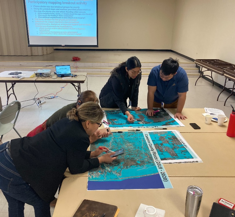
Floods impact more people than any other hazard and disproportionately impact communities of color. 2050 climate change projections predict increasing flood exposure inequity. The Rio Grande Valley (RGV) of Texas has high flood exposure and social vulnerability and inadequate flood risk data which hinders climate adaptation. We will support adaptation by co-producing high quality flood maps, integrated into an existing flood justice tool with our partner, the Texas RioGrande Legal Aid (TRLA). TRLA has had successful lawsuits against FEMA for discriminatory flood recovery funds and brought settlement funds to flooded households. Satellite-based flood observations can strengthen these flood justice lawsuits, and other environmental justice efforts, to promote equitable flood adaptation in the RGV. We will build an open access database of satellite observed inundation using existing AI models at the University of Arizona to extract surface water imagery from six satellites (Landsat, Sentinel-1, Sentinel-2, MODIS, VIIRS, and Planetscope) to generate a flood database of 165 events. We will conduct five workshops with organizations and residents to ground truth maps, quantify accuracy, build capacity, and co-design a data tool to attract future adaptation funding. We will geolocate these local flood experiences to quantify model performance and locally tune AI models to increase accuracy. This flood dataset will advance TRLA’s ongoing flood justice efforts in a changing climate. The project may serve as a model for other legal service organizations who seek to use data to achieve greater climate justice for their communities.
Societal Adaptation & Resilience Climate Justice Computer Vision & Remote Sensing Disaster Management and Relief